
- Mannar was a busy town from the 2nd century BC till the 14th century AD due to Mantota Port where eastern and western sea routes meetup. Mannar is an Island joined to the mainland by a 3 km long causeway, located 256 km north of Colombo.
- Mannar was a busy town from the 2nd century BC till the 14th century AD due to Mantota Port where eastern and western sea routes meetup. Mannar is an Island joined to the mainland by a 3 km long causeway, located 256 km north of Colombo.
MOST STRIKING FEATURES
- Ramayana speaks about a bridge over the ocean connecting India with Sri Lanka called “Setubandhanam”. In reality, it was reported that a 30 km long bridge, passable on foot, separated the Gulf of Mannar from the Palk Strait connecting India and Sri Lanka was there. It was destroyed by a cyclone in 1480 BC. The remnants of that bridge comprising 103 small patch reefs lying in a linear pattern with reef crest, sand cays, and intermittent deep channels can be seen. Today it is called Adam’s Bridge.
What To See & Do
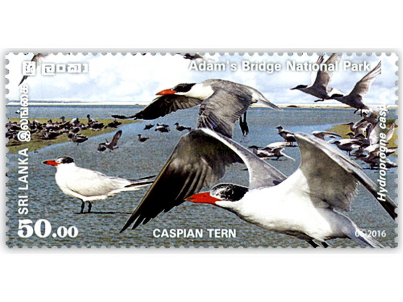
Bird watching, Adam's bridge marine national park
- The sea of the Sri Lankan section of Adam’s Bridge is shallow. The maritime...
Read More
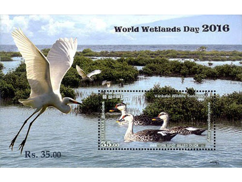
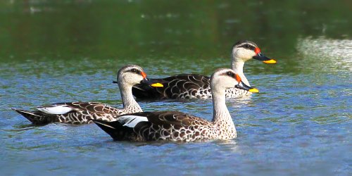
Bird watching, Vankalai sanctuary
Vankalai wildlife sanctuary, partly a wetland comprises the strips of land on either side of...
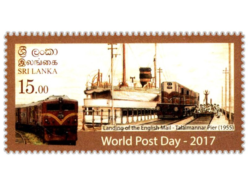
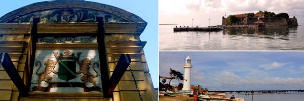
Read MoreLighthouse, Talaimannar
Old lighthouse in Thalaimannar known as the Urumalai lighthouse was located in the area called...
Read MoreMannar, Ketheeswaram temple
- Ketheeswaram temple or Thirukketeeswaram Kovil is located 10 km east of Mannar town. It is...
Read More
Baobab tree, Mannar
- An ancient Baobab tree believed to be planted by Arab traders who came for...
Read More
Doric Bungalow, Arippu
- Dorick bungalow was the residence of Frederick North, the first British...
Read More
Kitesurfing, Talaimannar
- Kitesurfing in Sri Lanka has become a popular water sport. The sand dunes in...
Read More

 +39 - 39 - 307 6 3730
 +94 - 74 - 000 9208






Share this page